Vintage Poster Archives
Imperial Airways World Route Map 1937 | James Gardner Aviation
Imperial Airways World Route Map 1937 | James Gardner Aviation
Couldn't load pickup availability
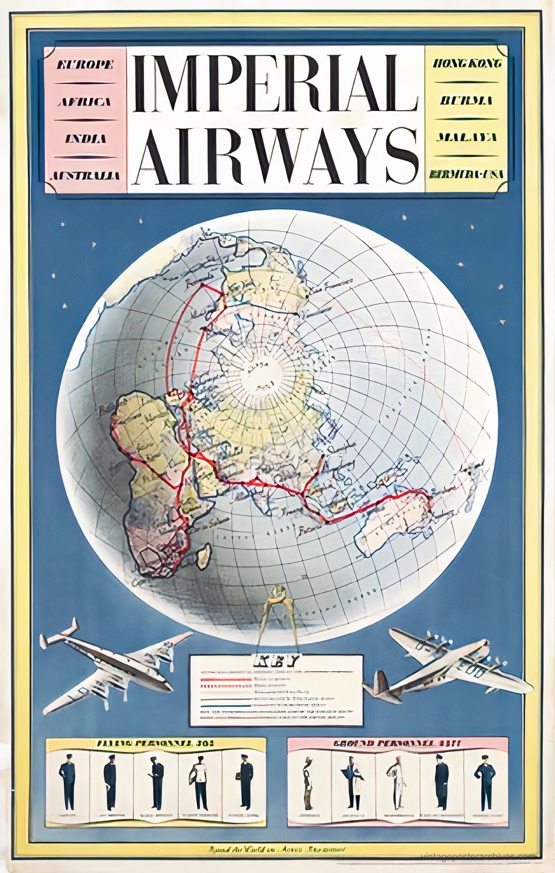
A globe-centered route map designed by James Gardner for Imperial Airways in 1937, showing the airline's Empire routes with mathematical precision and bold graphic clarity.
The composition presents a detailed world map marked with grid lines and red flight paths connecting London to Hong Kong, India, Australia, and Africa. Destination labels in colored panels frame the central globe, while two aircraft illustrations demonstrate the era's engineering achievements. Below, silhouettes of pilots and ground crew represent the skilled personnel behind the operation.
Gardner, working from his base at Carlton Studios, created this poster during Imperial Airways' expansion period when commercial aviation promised to shrink the world. The design reflects 1930s optimism about technology and Empire, rendered in the clear graphic style that would influence airline advertising for decades.
Reproduced as an archival print on 200gsm Enhanced Matte Fine Art Paper.