
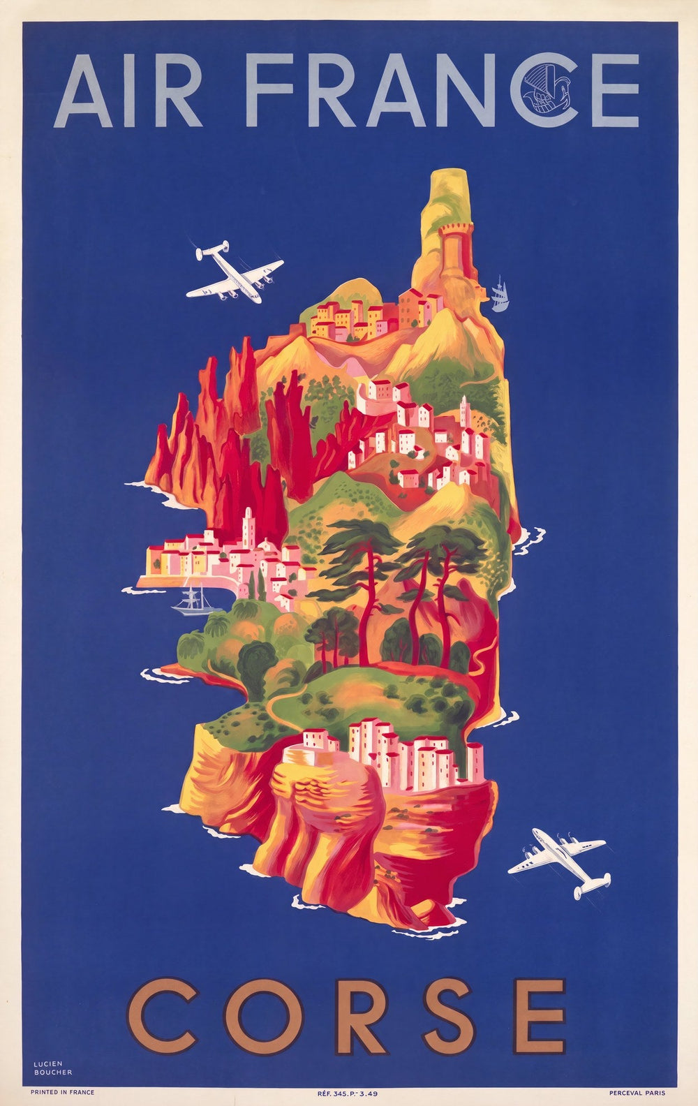
Lucien Boucher is best known for the illustrated maps he drew for Air France, and this one is Corsica. It dates from 1949. Boucher applied the illustrated map approach of his wider Air France work to the island.
On the poster
Corsica rises from deep blue water in this illustrated map. Warm ochre and red mountains fill the island, and coastal villages sit on clifftops. Two aircraft cross the Mediterranean sky. The type is clean and white.
About this print
A digitally restored reproduction, printed on 200gsm Enhanced Matte Fine Art paper with pigment inks.


